This detailed vintage map showcases Boston Bay and Harbor with its intricate coastline, numerous islands, and surrounding communities including Cambridge, Quincy, and Lynn. The elegant sepia-toned cartography features topographical contour lines and maritime navigation markers typical of 19th-century nautical charts. Perfect for history enthusiasts, Boston natives, or anyone who appreciates the artistry of antique mapmaking.
This detailed vintage map showcases Boston Bay and Harbor with its intricate coastline, numerous islands, and surrounding communities including Cambridge, Quincy, and Lynn. The elegant sepia-toned cartography features topographical contour lines and maritime navigation markers typical of 19th-century nautical charts. Perfect for history enthusiasts, Boston natives, or anyone who appreciates the artistry of antique mapmaking.
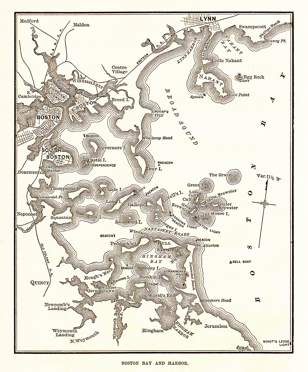 Image 1 of 1