Antique Map of England and Wales - Victorian Era Cartography Print
$10.00
This beautifully detailed Victorian-era map showcases England and Wales with delicate hand-colored county boundaries and intricate geographical features. The elegant cartography includes inset maps of the Scilly Islands and Channel Islands, making it a comprehensive reference piece from the late 19th century. Perfect for history enthusiasts, anglophiles, or anyone seeking distinguished vintage wall art with timeless appeal.
This beautifully detailed Victorian-era map showcases England and Wales with delicate hand-colored county boundaries and intricate geographical features. The elegant cartography includes inset maps of the Scilly Islands and Channel Islands, making it a comprehensive reference piece from the late 19th century. Perfect for history enthusiasts, anglophiles, or anyone seeking distinguished vintage wall art with timeless appeal.
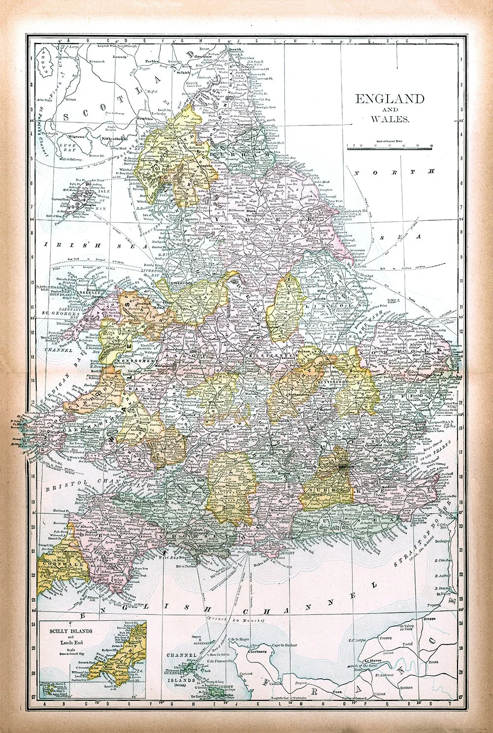 Image 1 of 1