Antique Map of Europe by J. Bartholomew - Victorian Era Cartography
$10.00
This beautifully detailed Victorian-era map of Europe showcases the continent's political boundaries during the 19th century, rendered in soft pastel hues of pink, yellow, and green. Created by renowned Scottish cartographer J. Bartholomew, this vintage map features intricate detail from the Arctic Ocean to North Africa, including the Mediterranean and Black Sea regions. A stunning addition to any study, library, or history enthusiast's collection, this print brings old-world elegance and scholarly charm to your walls.
This beautifully detailed Victorian-era map of Europe showcases the continent's political boundaries during the 19th century, rendered in soft pastel hues of pink, yellow, and green. Created by renowned Scottish cartographer J. Bartholomew, this vintage map features intricate detail from the Arctic Ocean to North Africa, including the Mediterranean and Black Sea regions. A stunning addition to any study, library, or history enthusiast's collection, this print brings old-world elegance and scholarly charm to your walls.
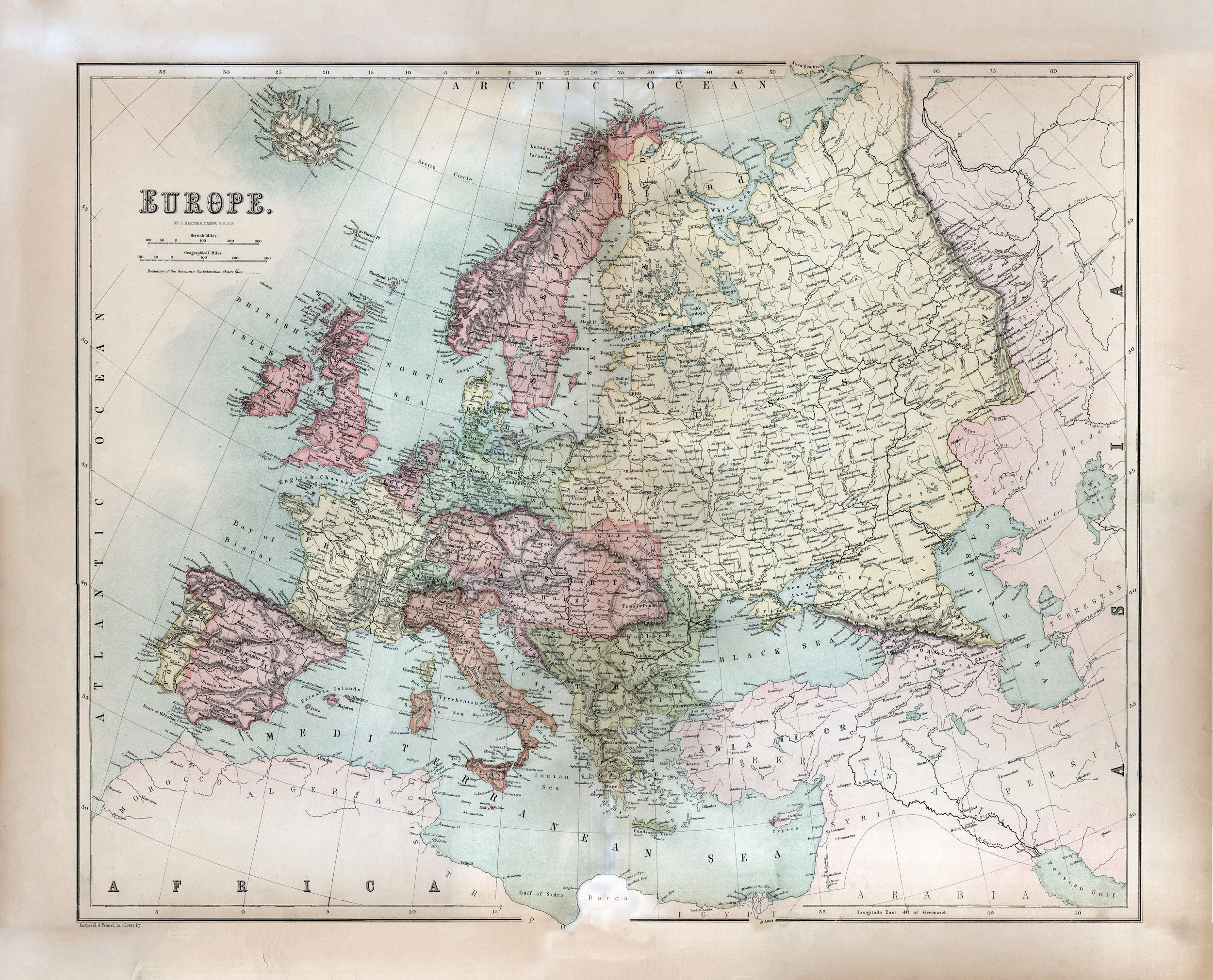 Image 1 of 1