Antique Map of Ireland - 18th Century Engraved Cartography Print
$10.00
This elegant 18th-century engraved map showcases Ireland in exquisite detail, featuring the four historic provinces of Ulster, Leinster, Munster, and Connaught along with their counties and major towns. Engraved by T. Jefferys, it includes a decorative baroque cartouche and shows geographical features, coastal details, and neighboring Scotland and Wales. A stunning piece for history enthusiasts, those with Irish heritage, or anyone who appreciates fine antique cartography.
This elegant 18th-century engraved map showcases Ireland in exquisite detail, featuring the four historic provinces of Ulster, Leinster, Munster, and Connaught along with their counties and major towns. Engraved by T. Jefferys, it includes a decorative baroque cartouche and shows geographical features, coastal details, and neighboring Scotland and Wales. A stunning piece for history enthusiasts, those with Irish heritage, or anyone who appreciates fine antique cartography.
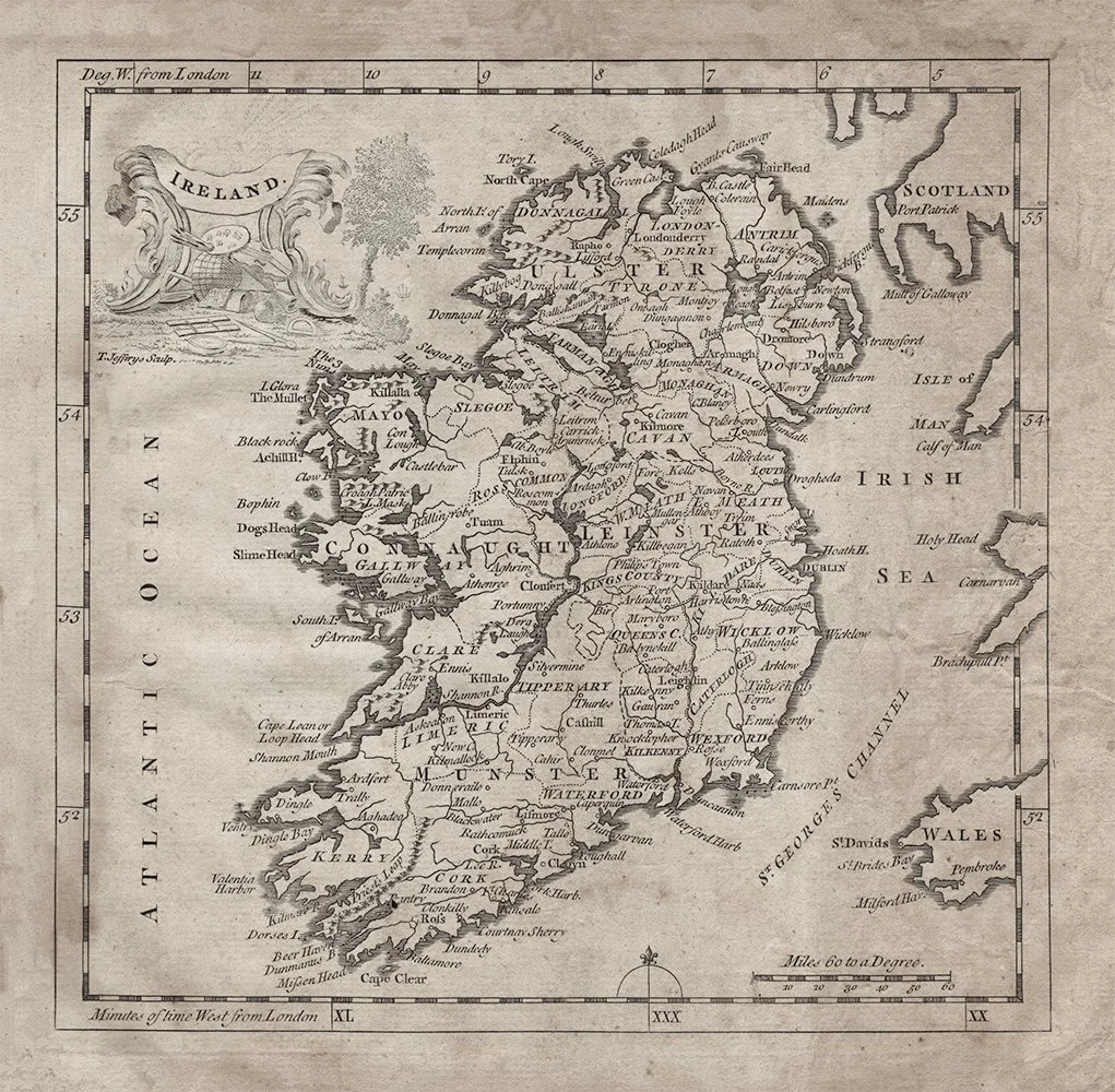 Image 1 of 1