Antique Map of Maine, New Hampshire & Vermont - 19th Century Cartography
$10.00
This beautifully detailed antique map showcases the northern New England states of Maine, New Hampshire, and Vermont with delicate hand-colored county boundaries in soft pastels. Drawn by J. Wells and engraved by Geo. E. Sherman of New York, this 19th-century cartographic treasure features intricate topographical details, town names, and waterways. Perfect for history enthusiasts, New England natives, or anyone who appreciates vintage Americana and the artistry of classical mapmaking.
This beautifully detailed antique map showcases the northern New England states of Maine, New Hampshire, and Vermont with delicate hand-colored county boundaries in soft pastels. Drawn by J. Wells and engraved by Geo. E. Sherman of New York, this 19th-century cartographic treasure features intricate topographical details, town names, and waterways. Perfect for history enthusiasts, New England natives, or anyone who appreciates vintage Americana and the artistry of classical mapmaking.
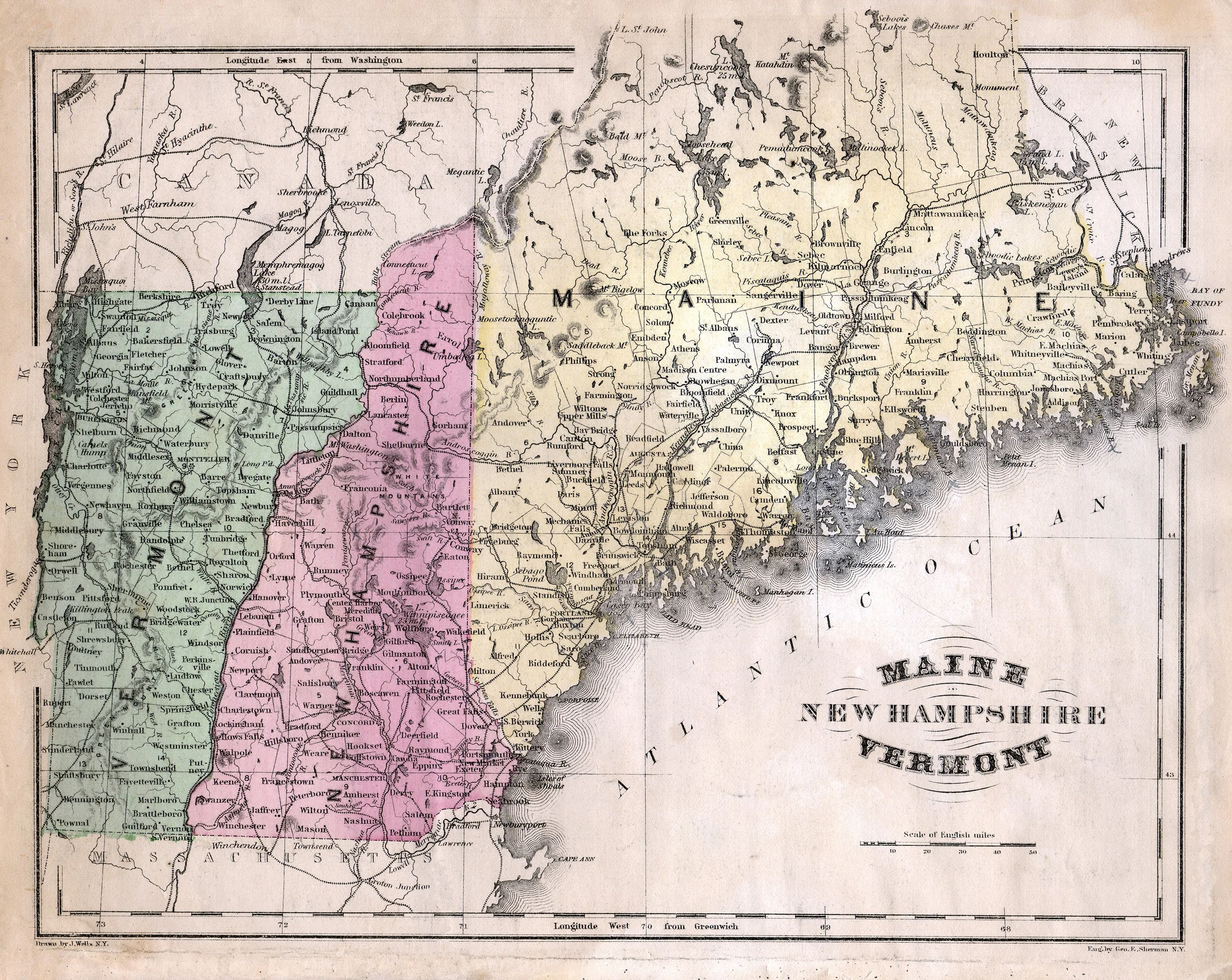 Image 1 of 1