Antique Map of New York & New England States with NYC Inset, 19th Century
$10.00
This beautifully detailed 19th-century map showcases New York, Vermont, New Hampshire, Rhode Island, Massachusetts, and Connecticut with hand-tinted county boundaries and an intricate inset of New York City's street grid. The elegant cartography features railways, waterways, and topographical details characteristic of Victorian-era mapmaking. Perfect for history enthusiasts, New England natives, or anyone seeking a sophisticated vintage piece for their home or office.
This beautifully detailed 19th-century map showcases New York, Vermont, New Hampshire, Rhode Island, Massachusetts, and Connecticut with hand-tinted county boundaries and an intricate inset of New York City's street grid. The elegant cartography features railways, waterways, and topographical details characteristic of Victorian-era mapmaking. Perfect for history enthusiasts, New England natives, or anyone seeking a sophisticated vintage piece for their home or office.
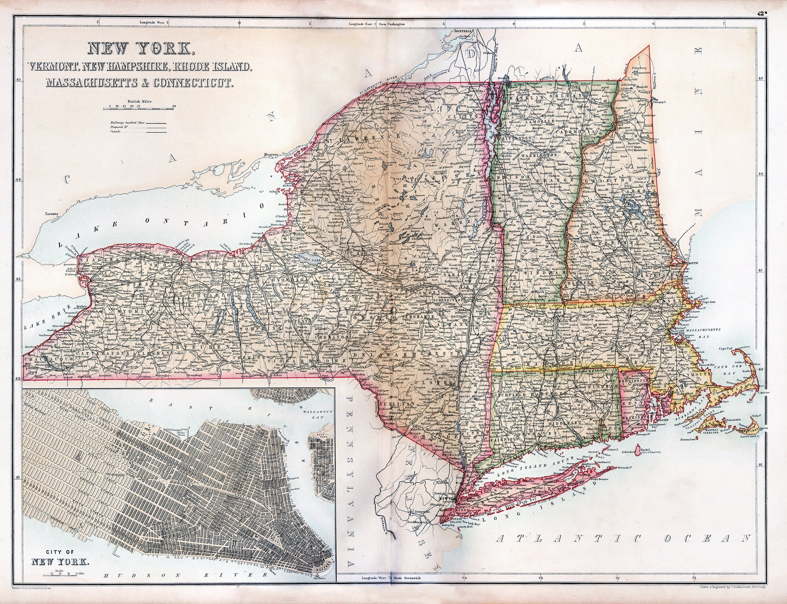 Image 1 of 1