Antique Map of Seneca County New York - Historic 19th Century Cartography
$10.00
This beautifully detailed vintage map showcases Seneca County, New York, featuring the distinctive Finger Lakes region nestled between Seneca Lake and Cayuga Lake. The hand-colored townships including Waterloo, Romulus, Ovid, and Lodi are rendered in soft pastels, displaying the meticulous engraving work typical of 19th-century American cartography. A stunning piece for history enthusiasts, New York natives, or anyone who appreciates the artistry of antique maps.
This beautifully detailed vintage map showcases Seneca County, New York, featuring the distinctive Finger Lakes region nestled between Seneca Lake and Cayuga Lake. The hand-colored townships including Waterloo, Romulus, Ovid, and Lodi are rendered in soft pastels, displaying the meticulous engraving work typical of 19th-century American cartography. A stunning piece for history enthusiasts, New York natives, or anyone who appreciates the artistry of antique maps.
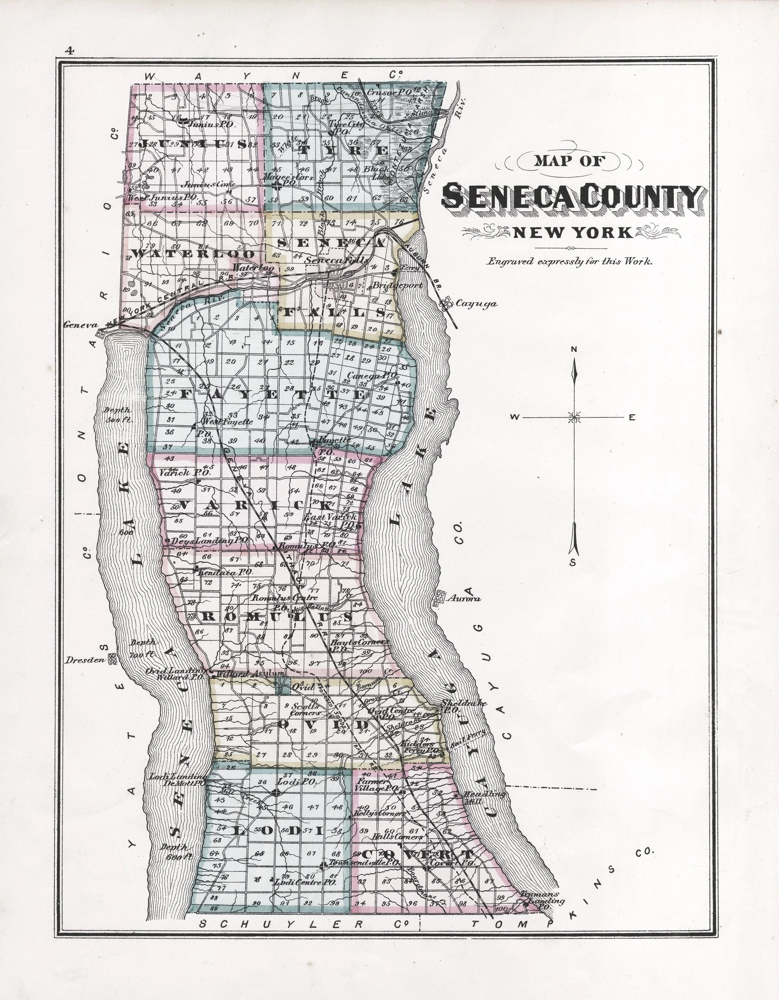 Image 1 of 1