Antique Map of Spain & Portugal - Victorian Era Cartography Print
$10.00
This beautifully detailed Victorian-era map showcases the Iberian Peninsula, featuring Spain and Portugal with their historic provincial boundaries. The delicate hand-tinted coloring and intricate topographical details, including an inset of Gibraltar and the Balearic Islands, exemplify 19th-century cartographic artistry. Perfect for history enthusiasts, travelers, or anyone seeking elegant vintage décor with European charm.
This beautifully detailed Victorian-era map showcases the Iberian Peninsula, featuring Spain and Portugal with their historic provincial boundaries. The delicate hand-tinted coloring and intricate topographical details, including an inset of Gibraltar and the Balearic Islands, exemplify 19th-century cartographic artistry. Perfect for history enthusiasts, travelers, or anyone seeking elegant vintage décor with European charm.
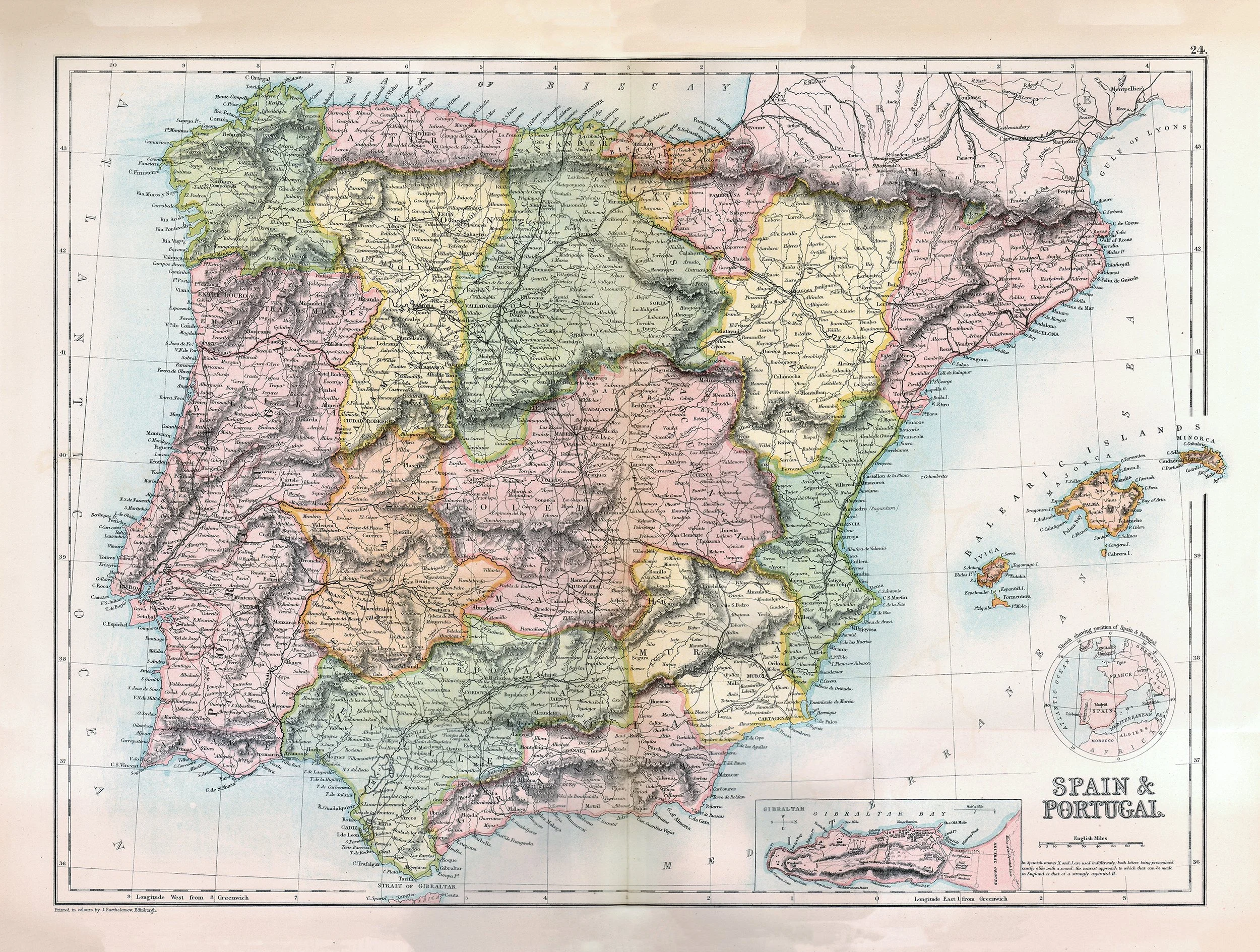 Image 1 of 1