The World on Mercator's Projection - Vintage British Empire Map Print
$10.00
This stunning 19th-century world map showcases the British Empire's global reach, with territories highlighted in distinctive pink shading. The elegant Mercator projection features detailed ocean currents, geographic labels, and the refined cartographic style characteristic of Victorian-era mapmaking. A sophisticated addition to any study, library, or travel-inspired space.
This stunning 19th-century world map showcases the British Empire's global reach, with territories highlighted in distinctive pink shading. The elegant Mercator projection features detailed ocean currents, geographic labels, and the refined cartographic style characteristic of Victorian-era mapmaking. A sophisticated addition to any study, library, or travel-inspired space.
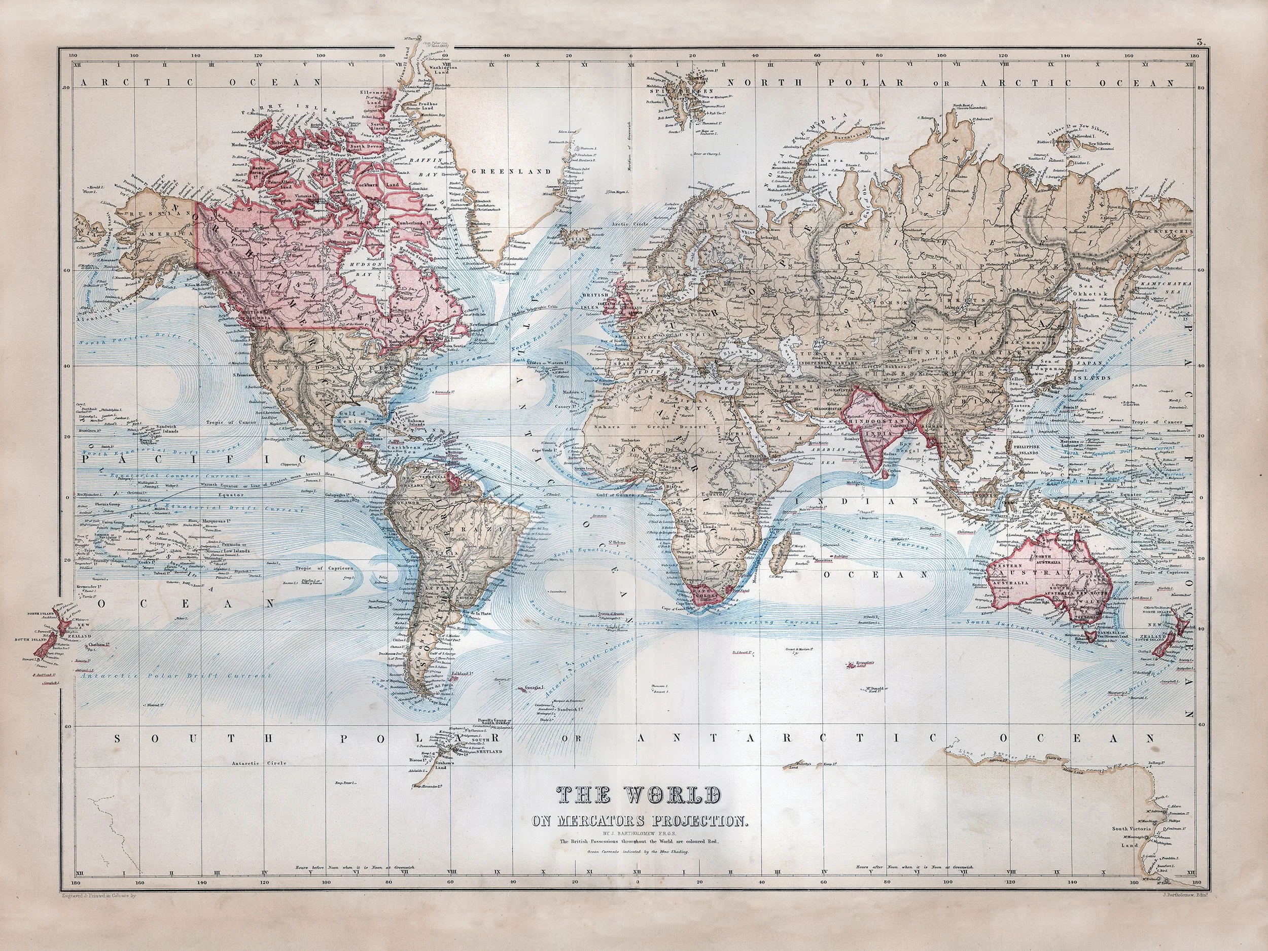 Image 1 of 1