Vintage 1904 Map of Providence, Rhode Island - Historic City Street Plan
$10.00
This detailed 1904 street map of Providence, Rhode Island showcases the city's intricate urban layout during the early 20th century, featuring neighborhoods, railroads, and the Providence River. The fine black and white engraving captures historic landmarks including Roger Williams Park and the Narragansett Bay waterfront. Perfect for Rhode Island natives, history enthusiasts, or anyone with a connection to this charming New England city.
This detailed 1904 street map of Providence, Rhode Island showcases the city's intricate urban layout during the early 20th century, featuring neighborhoods, railroads, and the Providence River. The fine black and white engraving captures historic landmarks including Roger Williams Park and the Narragansett Bay waterfront. Perfect for Rhode Island natives, history enthusiasts, or anyone with a connection to this charming New England city.
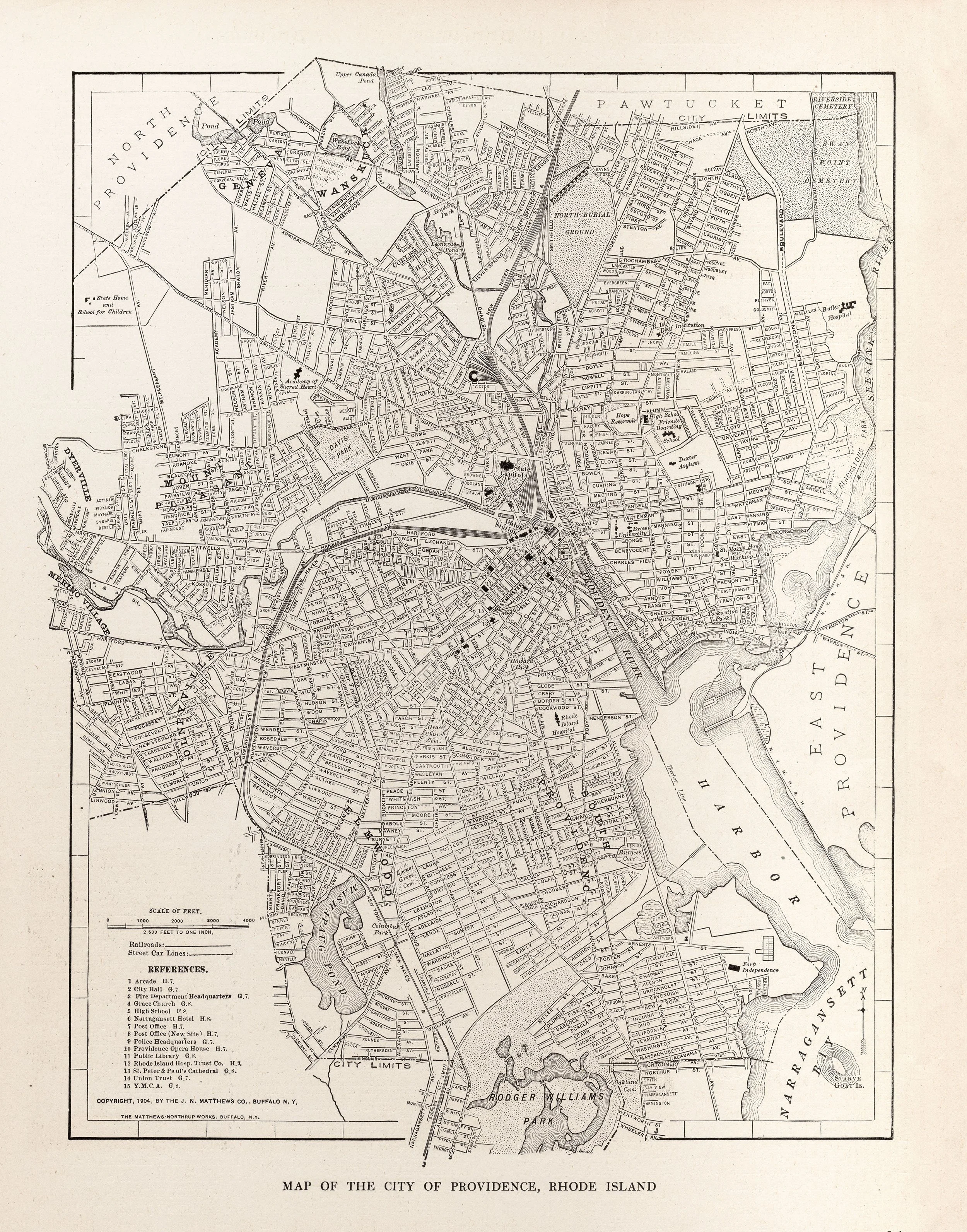 Image 1 of 1