Vintage Map of Toronto, Ontario, Canada - Historic City Plan Print
$10.00
This detailed antique map showcases Toronto's urban layout along the shores of Lake Ontario, featuring Humber Bay, the harbor, and the city's distinctive grid street pattern. The fine engraving captures the historical development of Canada's largest city with meticulous detail including railways, street car lines, and landmarks like Mt. Pleasant Cemetery. Perfect for Toronto natives, history enthusiasts, or anyone who appreciates vintage cartography.
This detailed antique map showcases Toronto's urban layout along the shores of Lake Ontario, featuring Humber Bay, the harbor, and the city's distinctive grid street pattern. The fine engraving captures the historical development of Canada's largest city with meticulous detail including railways, street car lines, and landmarks like Mt. Pleasant Cemetery. Perfect for Toronto natives, history enthusiasts, or anyone who appreciates vintage cartography.
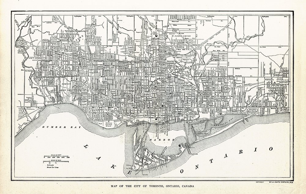 Image 1 of 1