Vintage Niagara County New York Map - Early 20th Century Cartographic Print
$10.00
This beautifully detailed antique map showcases Niagara County, New York, featuring the townships of Lewiston, Porter, Wilson, Lockport, and the famous Niagara Falls region. The soft pastel coloring highlights each township boundary while intricate details show railways, highways, schools, and elevations along Lake Ontario's southern shore. A stunning piece for history enthusiasts, New York natives, or anyone who appreciates classic American cartography.
This beautifully detailed antique map showcases Niagara County, New York, featuring the townships of Lewiston, Porter, Wilson, Lockport, and the famous Niagara Falls region. The soft pastel coloring highlights each township boundary while intricate details show railways, highways, schools, and elevations along Lake Ontario's southern shore. A stunning piece for history enthusiasts, New York natives, or anyone who appreciates classic American cartography.
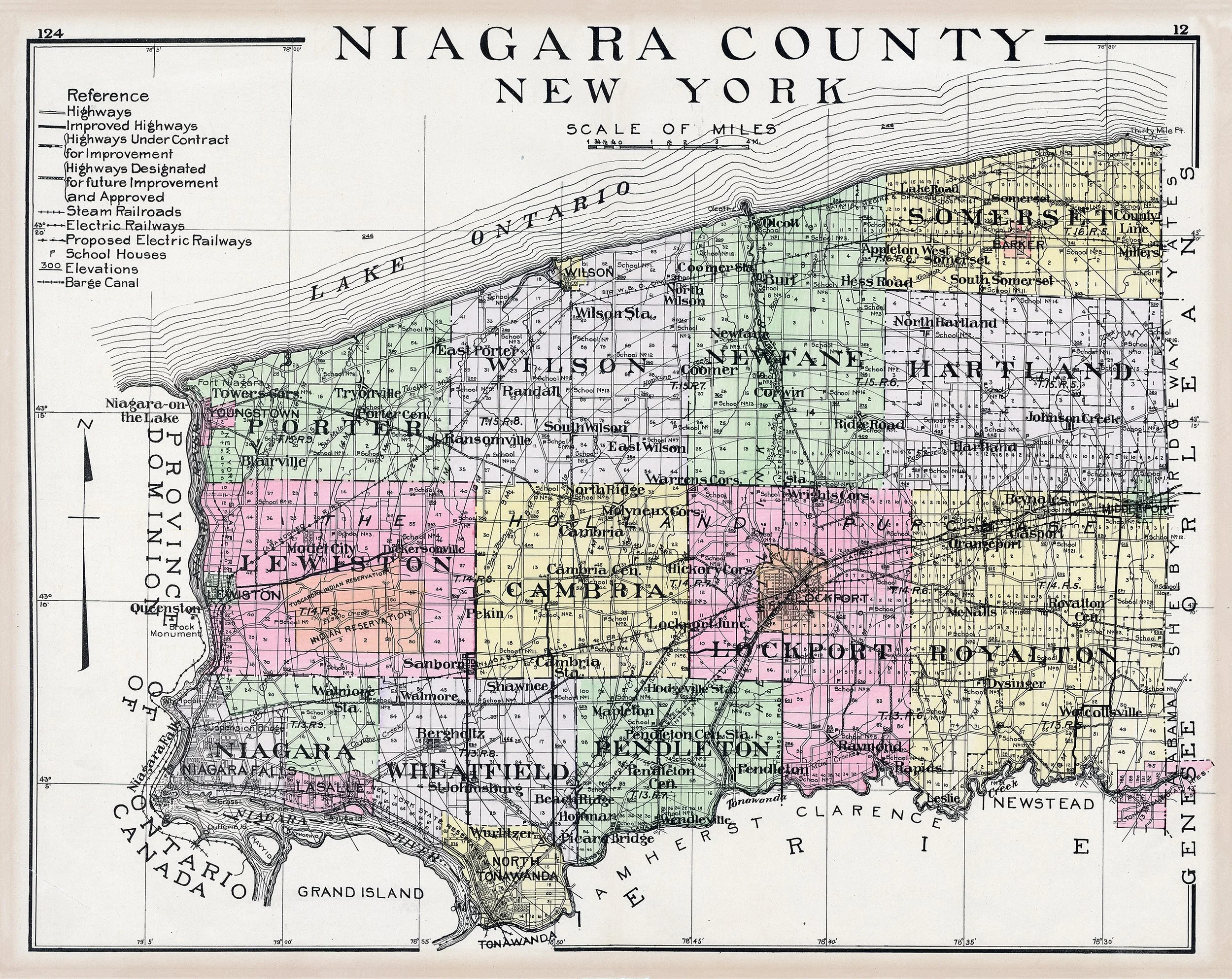 Image 1 of 1